QGIS Regional User Meeting Hobart 2024
QGIS Australia #
Regional User Meeting 2024 - Hobart #
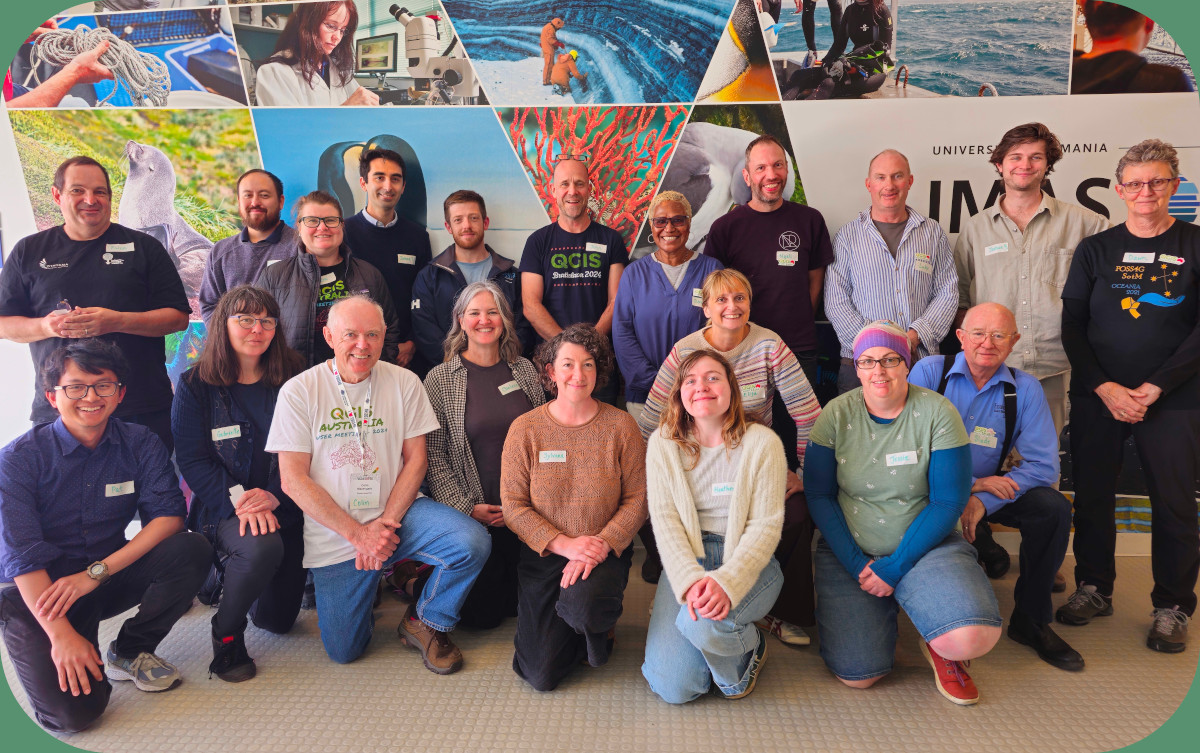
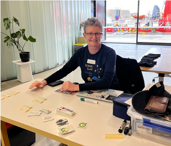
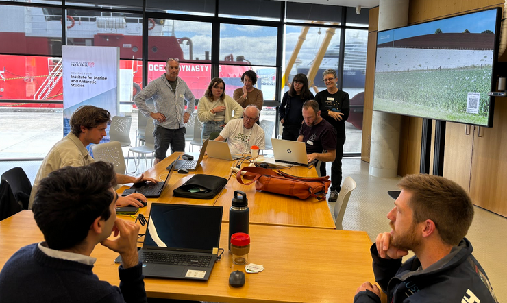
In the lead-up to the FOSS4G SotM Oceania 2024 Hobart Conference, QGIS Australia hosted an event on Monday, 4th November, to bring together QGIS users from across Australia and conference attendees. The Institute for Marine and Antarctic Studies (IMAS) in Salamanca supported the event by providing us with the venue where the participants gathered in the downstairs seminar room, situated right on the docks with a view of the research vessels. This marked our second-ever QGIS User Meeting, aimed at engaging, inspiring, and fostering connections within our community.
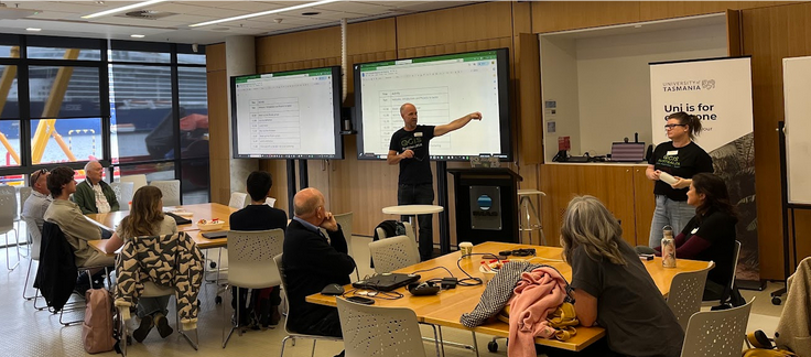
After the 23 attendees picked up their event t-shirts and stickers, they settled in as John Bryant opened the day by outlining the schedule—but first, introductions! We were thrilled to see a good balance between those attending FOSS4G and those who came specifically for this User Meeting. Among the group were QGIS users who had flown in from the mainland for the event and others who had traveled down from the north of Tasmania.
During the introductions, attendees shared what they wanted to focus on, which helped shape the direction of the next session. Those with shared interests gathered to collaboratively explore and develop the ideas further.
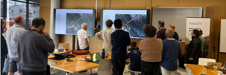
The User Meeting followed an “unconference” format, designed to bring people together and explore ideas that resonated with the group. We were fortunate to have John Bryant and Nyall Dawson on hand to guide discussions, contributing their logical insights and technical expertise.
There was a mix of ideas involving QGIS feature development and QGIS Australia strategy, including a QGIS Hobart User Group and a redesign of the QGIS Australia website.
Moving on to the QGIS project itself, we workshopped topics such as styling, including annotations, symbol conversion from MapInfo, and font spacing adjustments. There were also in-depth discussions on potential new QGIS functionalities including tools for generating pivot irrigation geometries, a historical imagery time slider, and point displacement enhancements.
This event would not have been possible without the incredible talents and coordination skills of these remarkable individuals:
Em Hain, Leo Ghigone (venue), Cholena Smart (t-shirts & stickers), John Bryant, Colin Mazengarb, Gaby Stannus, Simon Gatenby, and Dawn Hendrick (logistics and catering).
Thanks also go to Mammoth Geospatial and North Road for providing their resources and staff support.
Finally, thank-you to our financial sponsor, OSGeo Oceania, who supported through their grants program.
